PyGMT: High-Resolution Topographic Map in Python (codes included)
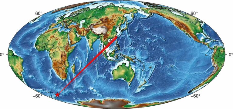
A simple tutorial on how to plot high resolution topographic map using GMT tools in Python
A simple tutorial on how to plot high resolution topographic map using GMT tools in Python
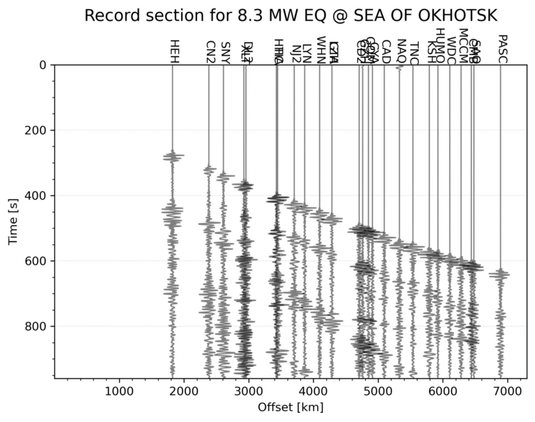
This tutorial demonstrates how to automatically generate a seismic record section for the largest earthquake within a specified time range and geographic area using Python. The process includes downloading seismic data, applying filters, and visualizing the waveforms for interpretation.
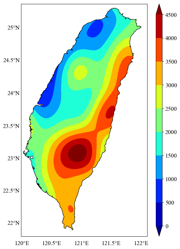
In this post, we explore how to perform geospatial interpolation using the Ordinary Kriging method and visualize the results within the coastline borders of Taiwan. Learn how to efficiently handle irregularly distributed geospatial data and automate the process of clipping data outside geographic boundaries for more accurate and meaningful visualizations.
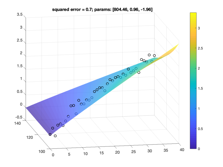
This article provides a comprehensive guide on performing non-linear curve fitting with multiple observational variables using MATLAB's lsqcurvefit function, including detailed explanations and code examples.