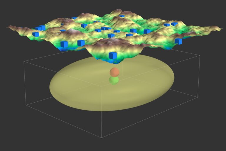
Discover how Genetic Algorithms can be applied to solve the earthquake location problem in seismology. This post walks through generating synthetic seismic data, implementing a GA to estimate earthquake locations, and visualizing results. While effective, the approach has limitations, including simplified assumptions and constraints.
Explore how cloud computing is revolutionizing geophysical and seismological research. From scalable data processing to real-time earthquake monitoring, discover how this technology is unlocking new possibilities for scientists around the world
The field of seismology is undergoing a transformation, driven by breakthroughs in sensing technologies, machine learning, and high-performance computing. These innovations are enabling the detection of smaller seismic events, mapping hidden fault structures, and creating detailed 3D models of Earth's interior, opening new frontiers in understanding our planet's dynamics.
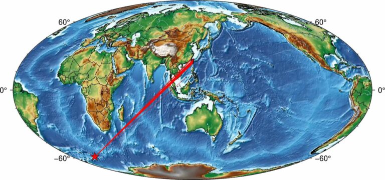
A simple tutorial on how to plot high resolution topographic map using GMT tools in Python
This article provides a comprehensive guide on utilizing ObsPy's PPSD class to visualize the Power Spectral Density (PSD) of seismic data. It details the process of importing necessary libraries, downloading seismic data, processing data with PPSD, and visualizing the PSD, using data from station PB.B075 as an example. This tutorial is beneficial for seismologists and researchers aiming to analyze seismic noise measurements and assess site quality.
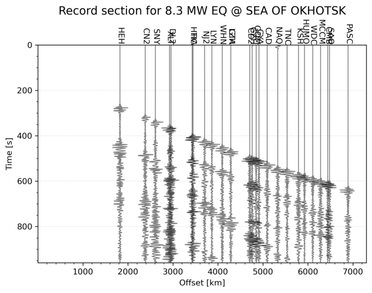
This tutorial demonstrates how to automatically generate a seismic record section for the largest earthquake within a specified time range and geographic area using Python. The process includes downloading seismic data, applying filters, and visualizing the waveforms for interpretation.