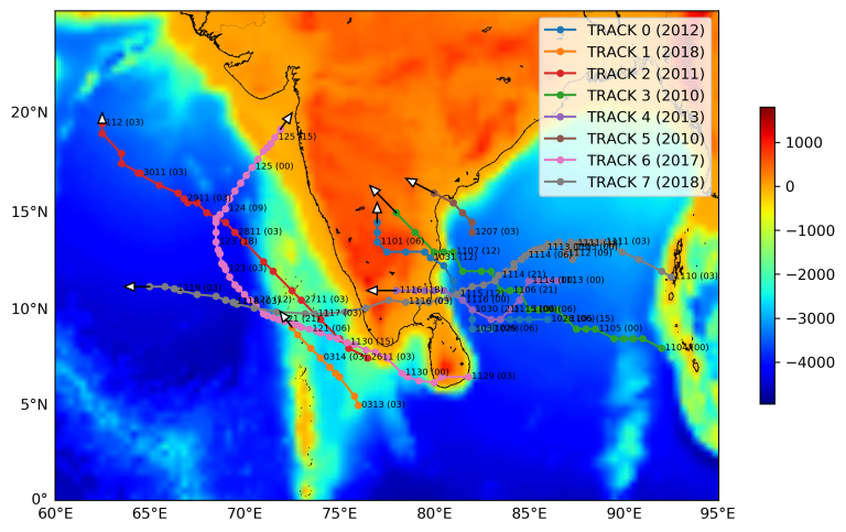
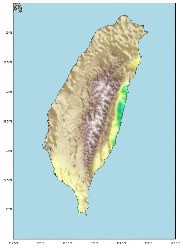
Plotting track and trajectory of tropical cyclones on a topographic map in Python

This article provides a step-by-step guide to plotting the trajectories of tropical cyclones on topographic maps using Python. It includes detailed code examples and explanations, enabling readers to visualize hurricane paths effectively.


