Python

Topographic map with shading in Python
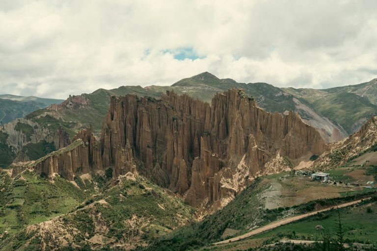
a view of a mountain range from a distance
This article demonstrates how to create shaded topographic maps in Python, emulating the style of Generic Mapping Tools (GMT) by incorporating shading effects to enhance terrain visualization. It provides detailed instructions and code examples, enabling users to generate high-quality relief maps using Python's capabilities.
Creating Dynamic Visualizations in Python Using Bokeh: A Step-by-Step Tutorial

Bokeh is a robust Python library for creating interactive, visually appealing web visualizations without requiring JavaScript. It excels in interactivity, integration with web frameworks, customization, and performance. This tutorial covers installation, basic and advanced plotting, styling, data management, and layout configurations, providing a comprehensive guide for data scientists and developers.