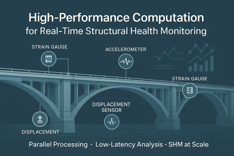
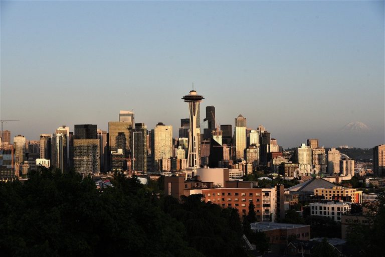
Utpal Kumar

Utpal Kumar

Geophysicist | Geodesist | Seismologist | Open-source Developer I am a geophysicist with a background in computational geophysics, currently working as a postdoctoral researcher at UC Berkeley. My research focuses on seismic data analysis, structural health monitoring, and understanding deep Earth structures. I have had the opportunity to work on diverse projects, from investigating building characteristics using smartphone data to developing 3D models of the Earth's mantle beneath the Yellowstone hotspot. In addition to my research, I have experience in cloud computing, high-performance computing, and single-board computers, which I have applied in various projects. This includes working with platforms like AWS, Docker, and Kubernetes, as well as supercomputing environments such as STAMPEDE2, ANVIL, Savio and PERLMUTTER (and CORI). My work involves developing innovative solutions for structural health monitoring and advancing real-time seismic response analysis. I am committed to applying these skills to further research in computational seismology and structural health monitoring.

How to overlay shapefile data on PyGMT Maps

The PyGMT library in Python simplifies the creation of high-resolution topographic maps by providing built-in shorelines, country borders, and topographic data. By integrating geopandas, PyGMT enables users to overlay custom shapefile data, making it easy to highlight specific regions on a map. In this post, we demonstrate how to use county boundary data from Taiwan’s government portal to overlay on a high-resolution map of Taiwan, focusing on selected counties. This method provides a flexible, powerful approach for creating visually striking maps with customized geospatial information, applicable to various regions and datasets.

Understanding Docker: A Beginner’s Guide for Geophysics Students

a group of trucks parked next to each other in a parking lot
Docker is revolutionizing how we deploy and manage software applications, offering a simple and efficient way to ensure consistency across different environments. In this beginner-friendly guide, we break down the fundamentals of Docker, explore its key concepts, and walk you through creating your own Docker image using a simple Linux base. Whether you're just getting started with computational tools or looking to streamline your research workflows, this guide will equip you with the knowledge to harness the power of Docker in your geophysics studies.

Understanding the Common-Mode Error in Array GPS Displacement Fields: Insights from Taiwan’s Atmospheric Mass Loading

In our study, we explored the common-mode error (CME) in GPS displacement fields across Taiwan, uncovering its significant correlation with atmospheric mass loading (AML). By analyzing 10 years of GPS data from 47 stations, we found that up to 90% of CME variations in the vertical component can be attributed to AML. These findings enhance our understanding of systematic errors in GPS data and offer pathways to improving the precision of geophysical measurements.